Let me start with something that happened yesterday while I was in line for a taxi at Jeju International Airport. A friendly woman behind me commented on my tee shirt, asking me whether I had done the routes described on it. I said that those were the routes I was going to do, and with that, we launched into conversation. The lady was short, squat, and somewhat older. She was visiting Jeju for some kind of business—I didn't understand what it was, but I nodded, anyway, when she told me her reason for coming to the island. The lady remarked that the design on the back of my shirt was strange because of the four-letter combination ㅈ ㅈ ㅇ ㄱ, which I'd intended to stand for 제 + 주 + 올레 +길, but the lady said that, to Korean eyes, that didn't work because a Korean would expect to see 올레 divided up into 올 + 레. I told her I understood, but the design called for only four letters, so I had little choice but to sacrifice a syllable. The lady said that Koreans think syllable-by-syllable, so they'd want to see the second syllable of the word represented. Makes sense; that's what I did with "Jeju," after all (ㅈ ㅈ).
Quick housekeeping note: as in times past, I'm probably going to write my entry for the day, dump the pics, and engage in minimal captioning because comprehensive captioning would take too much time and energy.
Several things to talk about now that I've gone through my trial by fire on the Jeju Olle trail. I need to talk about how I cheated the route by shortcutting several times. I need to talk about some of the sights seen along the way. And most important, I need to talk about where we go from here because, frankly, I think I'm going to have to throw out all my plans. (Leave comments with your own thoughts after I've had my say.)
The cheating happened immediately. The way I'd originally planned the Day 1 route, I was going to walk 4.5 km to the trailhead, do all of Course 1, then move right into Course 2. But when I stepped out of Mido Motel at 4:30 this morning, I looked again at Naver Map and realized I was already near a portion of the trail, so why waste time walking 4.5 extra kilometers? And I would have had to backtrack, too, because that's how Course 1 starts: instead of immediately striking south, the trail initially circles west and north, then finally loops east and south. A strong voice in my head said Fuck that, so I just walked out of my lodgings and picked up the trail a couple hundred meters away. In one swoop, then, I cut off God-knows-how-many kilometers by avoiding a loop. I paid for it when I got to Course 2, though: even though the course has been rated "normal" in terms of difficulty, there's a mountain on Course 2, and the trail leads right up to the mountain's summit. Sure, it's a tiny mountain. But the trail leading up to the top was so steep that I pitched forward and fell onto my outstretched hands at several points. I had thought a "normal" difficulty reading would have meant no such hills. I was wrong. I did most of my sweating and hyperventilating on that portion of the trail. In the end, my pedometer shows me at a bit less than 24,000 steps, with 253 minutes of walking. That's under my usual 100 steps per minute, and that's all because of that mountain. My feet came in for a lot of punishment on that part of the trail as well, so I'm snarfing down my painkillers. I never talked about this, but I've had some bad heel pain for the past month or so, and I'd been hoping the pain would have gone away by now.
We'll get back to the issue of heel pain and mountains in a bit, but first, let me talk about my impressions of the parts of Courses 1 and 2 that I did do.
At 4:30 in the morning, all is dark except for the electric lighting. When you're in town, that's not a big deal, but when you're walking along the beach and doing the last third of Course 1, walking suddenly becomes a very exciting game. I'm not much into exciting games these days, so I used my phone's flashlight function, as I did in France, to illuminate the ground in front of me at least a little. The part of Course 1 that I did was pretty flat, and when I was on sidewalks or streets, walking was pretty straightforward. But there were some sections that took me onto sandy beaches, and that was where I had to watch my footing.
As we creep toward October, sunrise happens later. At the beginning of summer, you can expect it to be light around 5 a.m., but these days, it's still dark at 5:30. By the time I finished Course 1 and had started Course 2, it was still pretty dark when the trail led me into the woods. This was nifty for a few moments... until I realized I was heading up a mountain. My brain resisted this at first because it was attached to the idea that "normal difficulty level" could never mean steep mountain trails. Yet there we were, working our way arduously up a local mountain called Daesu. Daesu Mountain, it turns out, is only 134 meters high—more of a glorified hill than a mountain. Despite that fact, the trail up to the top seemed to ascend forever, and as I said earlier, I fell over a few times as I fumbled my way uphill. It felt like that time I went on the Hantan River trail with JW: same steep slopes, same balance issues. Yes, the balance issues are still with me post-stroke, which is one reason why I think continuing along the Olle trail might actually be dangerous. Eventually, I reached the top of Daesu-san, and as they say, it was all downhill from there.
Once I got off the mountain, Course 2 led me along a network of farm roads. After my ordeal on Daesu-san, I seriously considered re-plotting my route as a bike trail in hopes of hanging close to the coast and avoiding inland mountains. Instead, I stuck with it. Course 2 also had a loop that I didn't do, but this loop was much smaller, so I didn't shave off more than a kilometer or two.
The farm roads were slightly hilly, but only slightly. The weather was cloudy and a bit drizzly all morning, with the sun finally making an appearance around noon. I saw a whole bunch of new plants that I'd never encountered before, and as I was coming down the mountain, I finally saw my first Korean orb-weaver (Joro spider). I'd been worried that these arachnids had never made it to Jeju, but my fears proved unfounded, as you'll see in the pics below.
Even though today's walk ended up being about half the length I'd thought it was going to be, it kicked my ass, and I'm dead tired.
Oh, yeah: I mentioned the issue of people on the trail. Well, I can guarantee that the only dedicated walkers at 4:30 a.m. are crazy old people who can't sleep. When I was at the top of Daesu-san, I heard the heavy breathing of a jogger coming up the trail. I couldn't even imagine jogging up that slope. Jesus Christ. Aside from that, there weren't many people today. The place where I've stopped, which is at the southern end of Seogwipo, feels almost like a ghost town. Unlike the east coast of the mainland, the coast of Jeju doen't seem at all choked with traffic.
So this brings me to my idea: throw out the notion of doing the Olle-gil and just stick to the bike routes. It's obvious, even after a single day on the trail, that the Olle-gil and the bike routes are not the same thing. There are areas where both types of path coincide, but with the Olle-gil having sandy stretches and mountain paths, there are parts where bikers simply cannot go. But as I know from previous experience, walkers can walk along bike paths, and even when the bike paths are right next to traffic, the coastal traffic on Jeju seems, thus far, to be light compared to the mainland. I'm also thinking about my safety: if the mountain paths are going to be as steep as what I encountered today, I'm not sure I can hack that. (Aside: this really puts a damper on the idea of ever doing the Baekdu Daegan trail, which I've heard can be hellaciously difficult.) And with the mountainous terrain exacerbating my heel pain, I'm thinking it might be better to stick with flatter, well-paved ground.
I've plotted out my lodging for the entire trip; there’s no need to change any of that. But by staying out by the coast, I can still technically circumnavigate the island. I'll have to change my blog's banner to reflect that, of course: if I stop doing the Olle path, the blog banner, as it stands, becomes false advertising. I can't change the banner from here, though, so that will have to wait until my return to civilization.
Righto—here are the pics you've been waiting for. I think there are over 360 of them today. Click on the first pic, and the whole thing turns into a slide show.
 |
| one of many black-pig restaurants |
 |
| the ubiquitous trail symbol that purportedly tells you which way to go |
 |
| This little one didn't know whether to stay or go. |
 |
| Convenience stores aren't always 24/7. |
 |
| Ilchulbong (日出峯) = Sunrise Peak |
 |
| Some claim the Olle trails are well marked. After today, I beg to differ. |
 |
| The last part of Course 1 takes you beachside. |
 |
| shells, shells, shells |
 |
| Ribbons are the other major trail marker. |
 |
| again—not squid boats |
 |
| end of Course 1 |
 |
| These horse symbols appear at the end of a course. |
 |
| stamps, too, but I couldn't find my Moleskine |
 |
| flipped the shot to make the stamp clear |
 |
| the beginning of Course 2 |
 |
| garbage collectors at nearly 5:30 a.m. |
 |
| There's a lot of this street lighting around here. |
 |
| I wasn't sure why this was here, only partway through Course 2. |
 |
| "elder-protection area—SLOW" |
 |
| the fateful moment when I hit the mountain trail |
 |
| had to use my flash to get a lot of these images |
 |
| hard to convey how steep this path was |
 |
| about at the top |
 |
| I decided to rest at the summit. |
 |
| This deer froze upon seeing me. |
 |
| I'm a sweaty mess. |
 |
| lying back and looking upward |
 |
| As you can see, daybreak happened while I was ascending. |
 |
| Go down fast enough, and you hit a farm road. |
 |
| the ubiquitous Jeju stone wall (basalt) |
 |
| I'm no expert, but even I was impressed by the rich, loamy, chocolatey soil. |
 |
| Okay, experts, what am I looking at? |
 |
| animal assholes leave their imprints in concrete |
 |
| There was a light, sprinkly rain for much of the morning. |
 |
| a nifty spider I'd never seen before |
 |
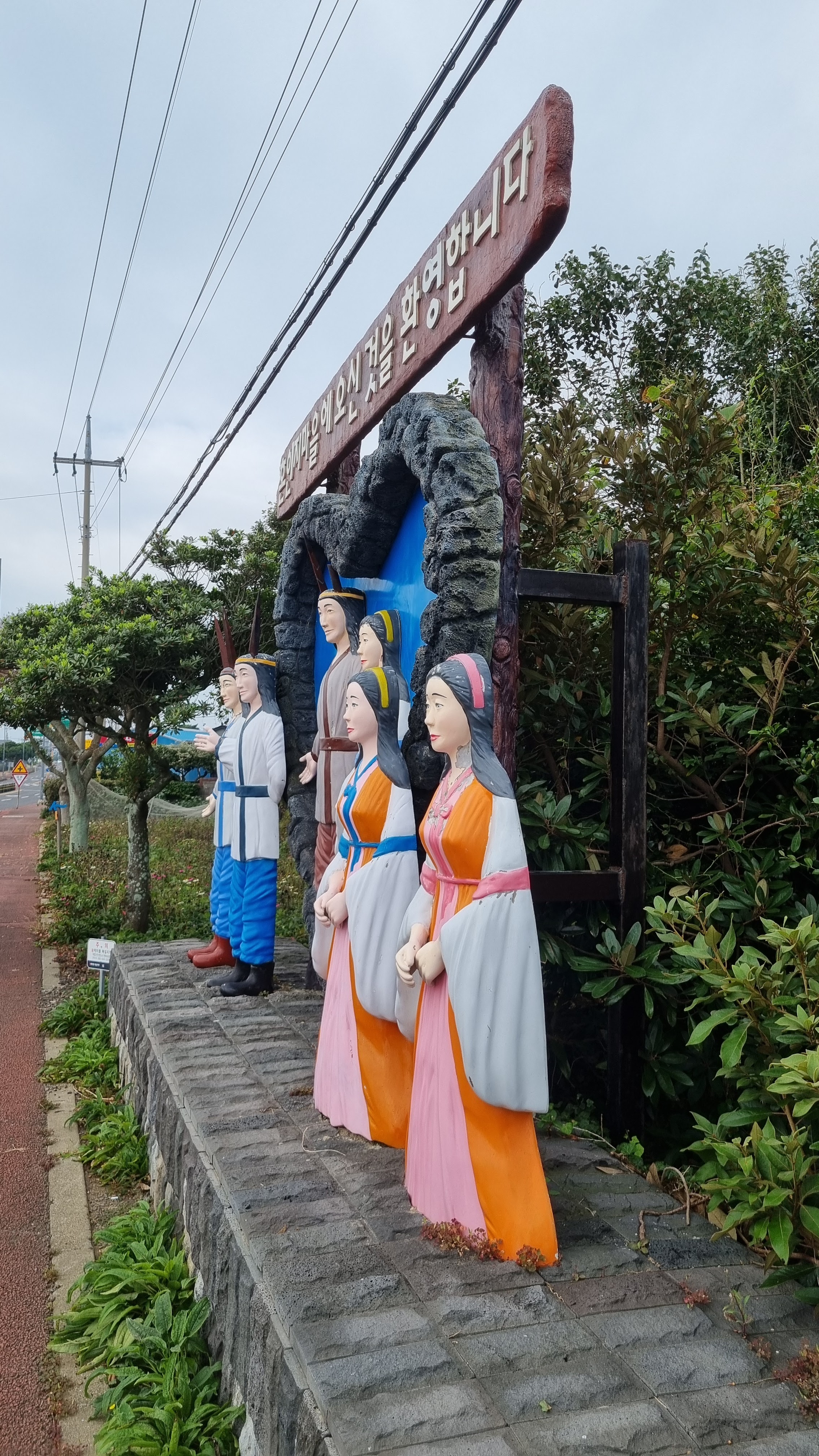
| What story is behind this scene? |
 |
| a wedding hall, I think |
 |
| a traditional refectory |
 |
| I got marked up after falling a few times on the mountain. |
 |
| another new type of spider |
 |
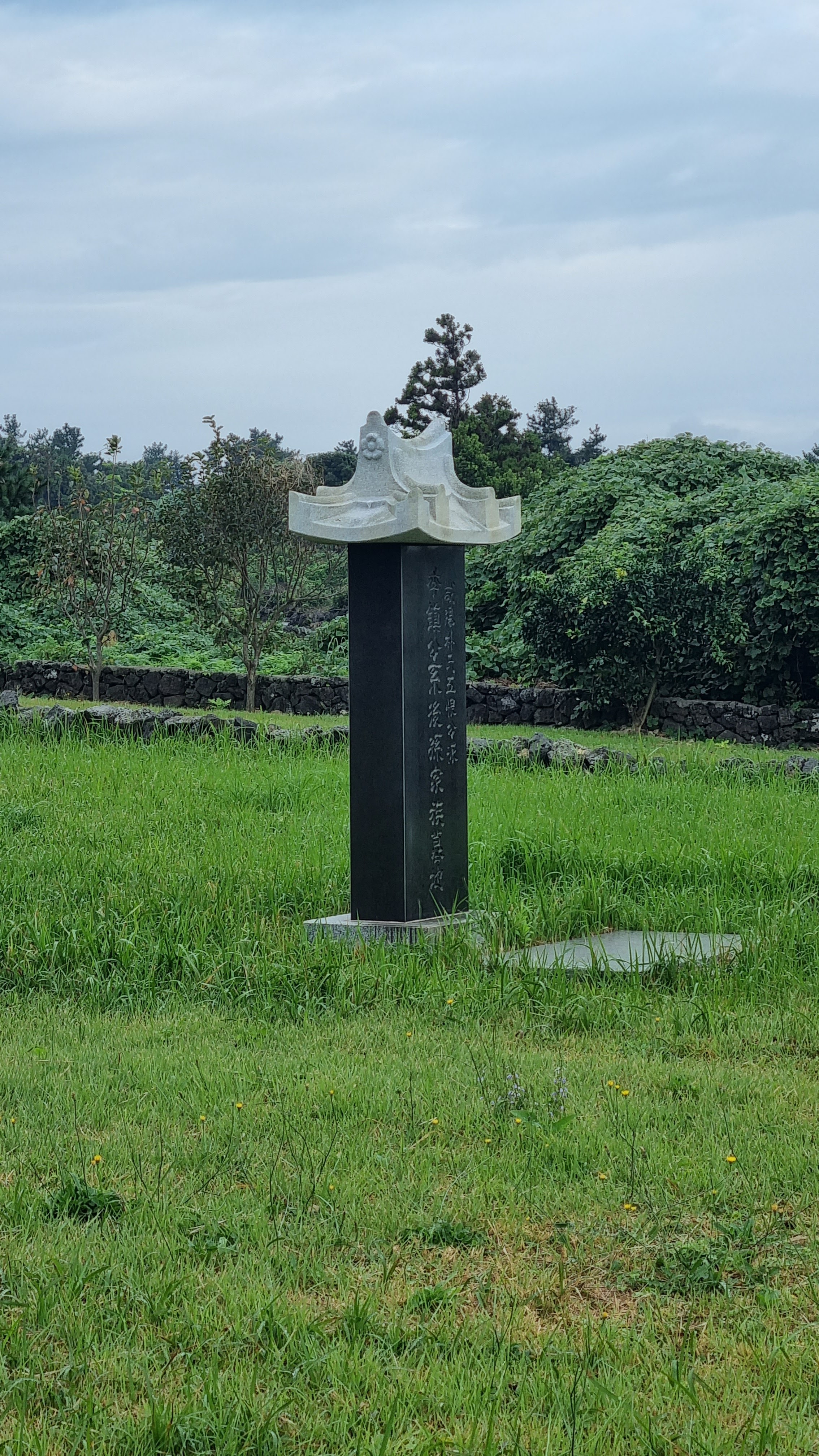
| will decipher these later |
 |
| markings on a pole |
 |
| unripe persimmon |
 |
| probably the closest I'll get to photographing haenyeo |
 |
| When the back half of your brain is gone, all you can do is stand there. |
 |
| thataway |
 |
| This place gave off a gentle, hippie-ish vibe. |
 |
| "Your (heart?) is the best!" |
 |
| happiness, good fortune |
 |
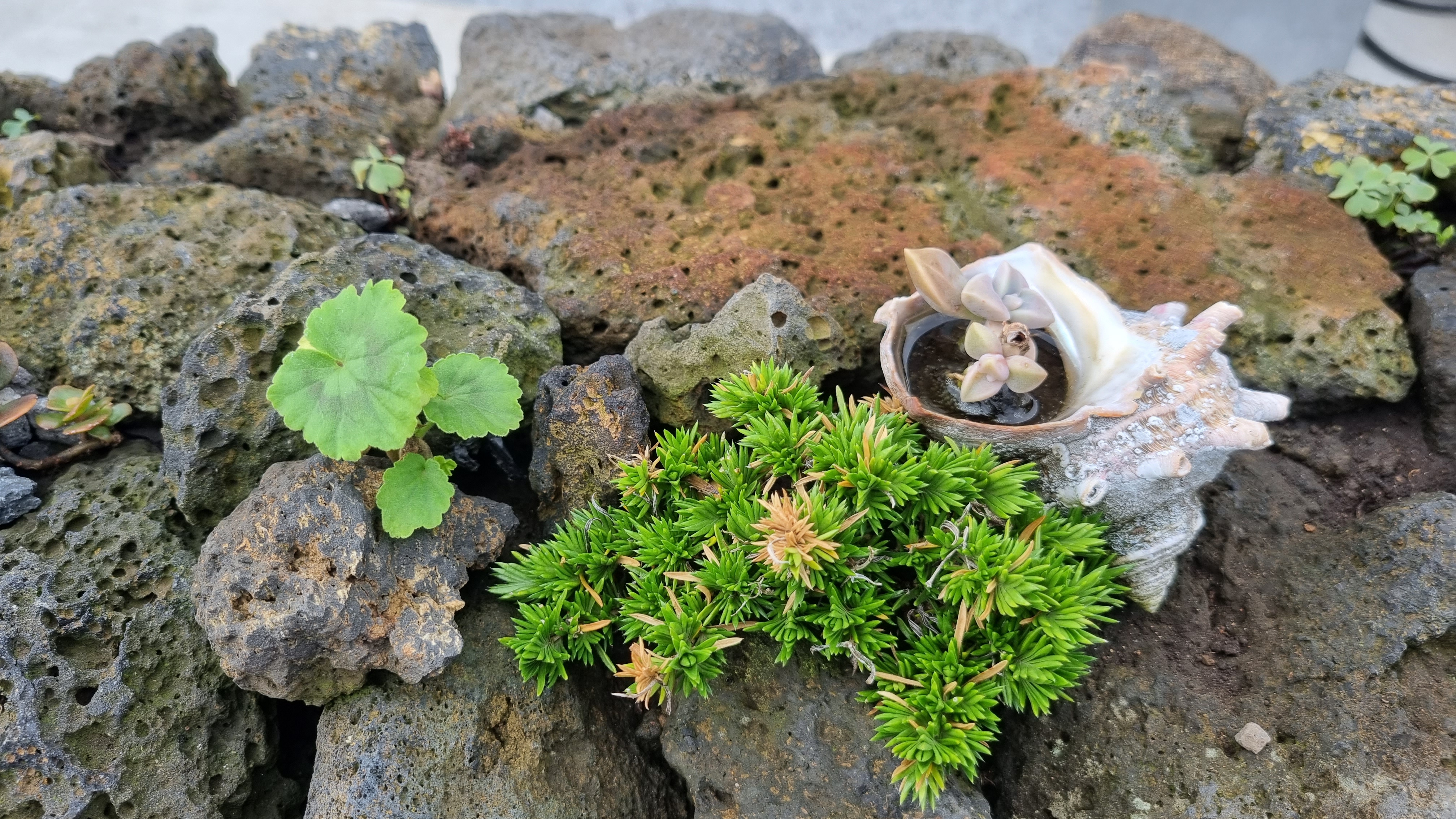
| someone's little plot |
 |
| I've never seen cinder blocks do that. |
 |
| approaching the shore |
 |
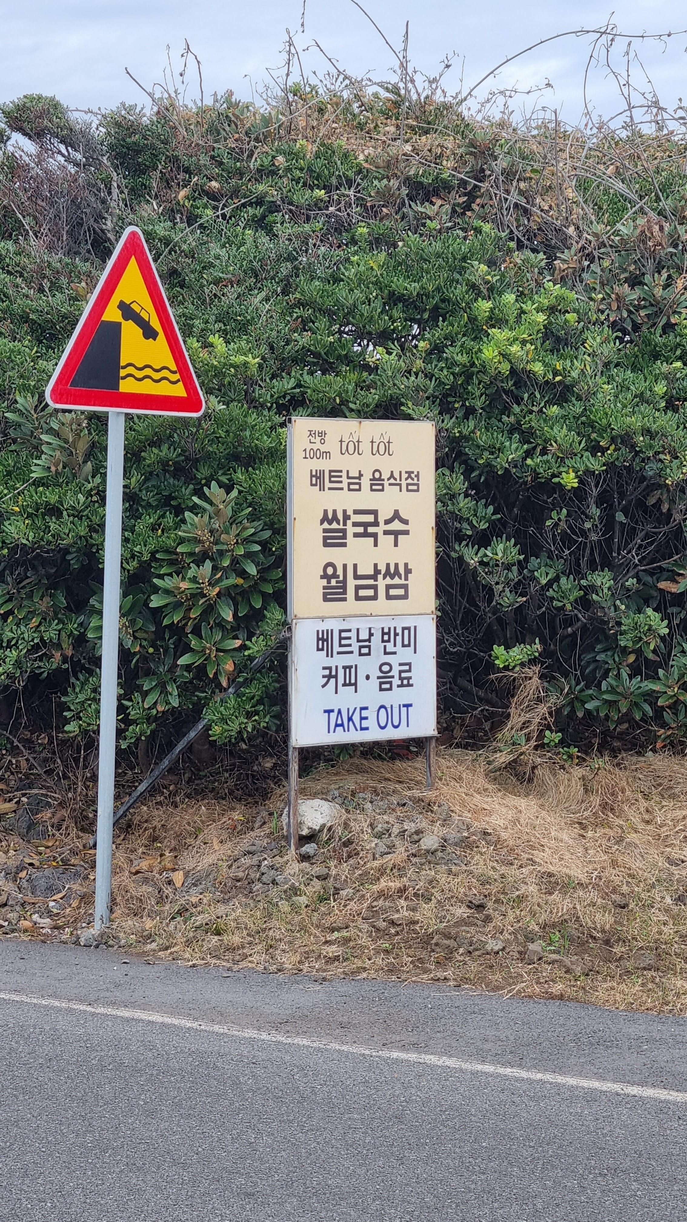
| sign advertising pho (etc.), which sounded good |
 |
| the official end of Course 2 |
 |
| stamp for the beginning of Course 3 |
 |
| stamp for the end of Course 2 |
 |
| reminds me of grass writing |
 |
| Don't be impressed: these have rods stuck through them. |
 |
| This one reminds me of a morel mushroom. |
 |
| "Yes, Batman, I will do as you say." |
 |
| "Wait—you’re not Batman!" |
 |
When you're missing a leg, use a rope for support.
|
 |
| coastal bike trail |
 |
| doodad at the shwimteo where I was resting |
 |
| someone's drone |
 |
| something about not building a second airport, I think |
 |
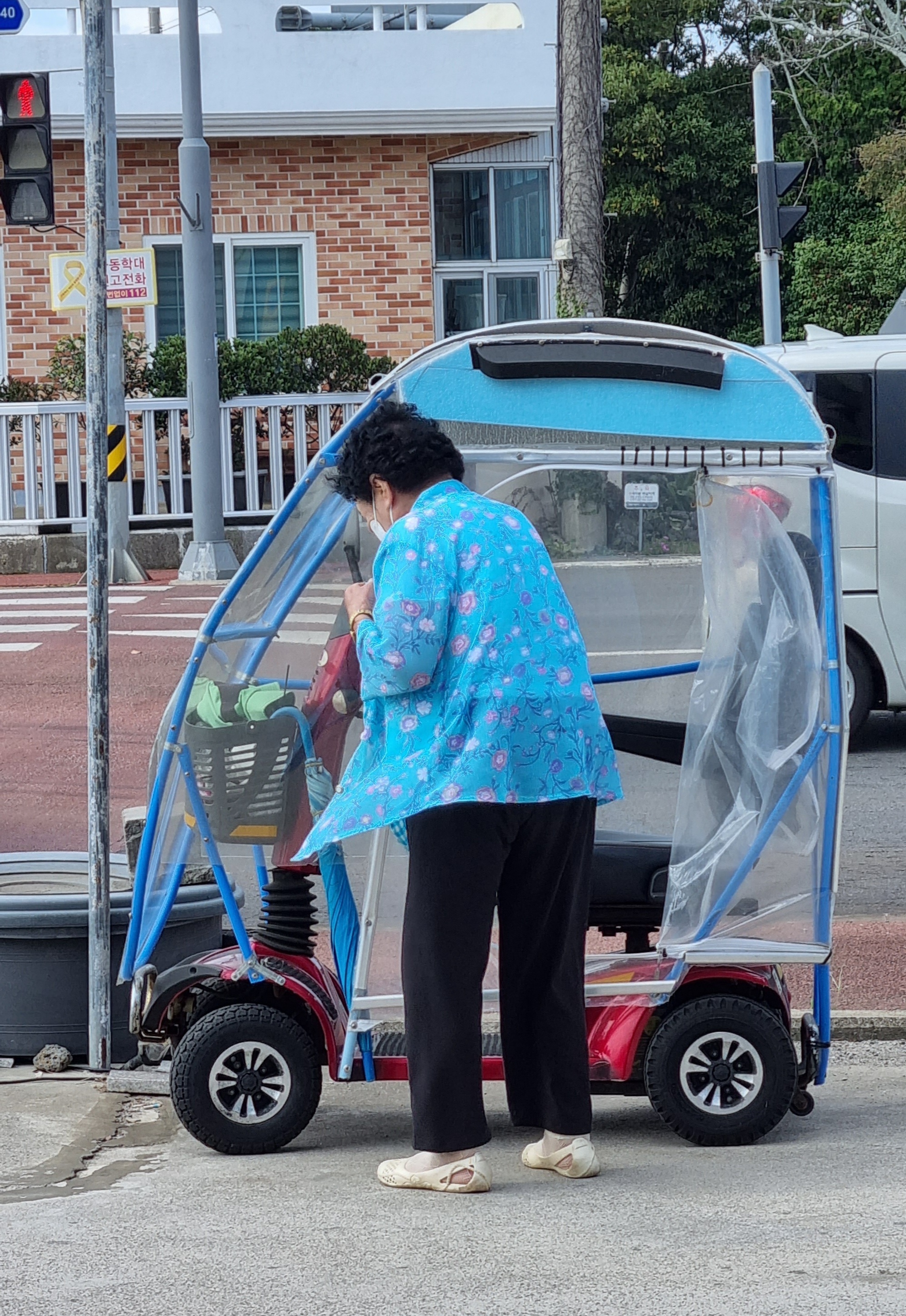
| I like this lady's ride. |
 |
| The pension where I'm staying. |
Lastly, for Charles:
I'm happy to concede that you and my anonymous commenter are right, but I'm not hallucinating this.